




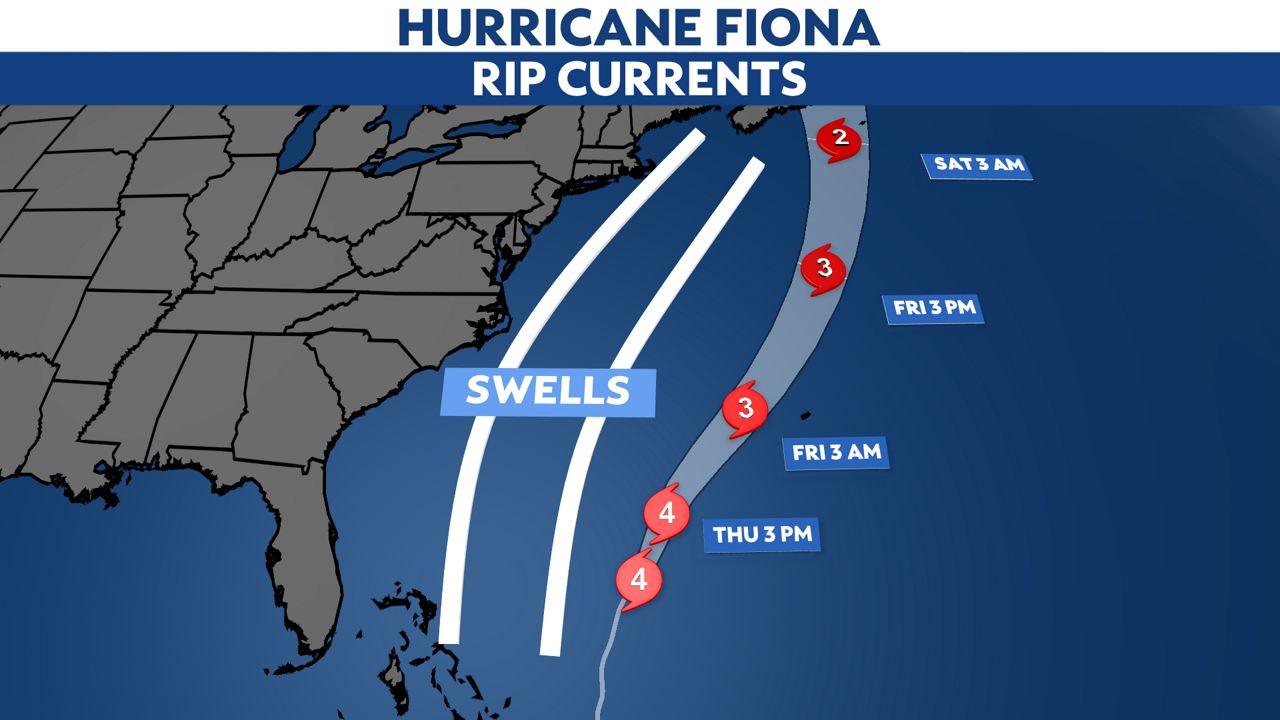
Mainers will see high winds and surf on Saturday as Hurricane Fiona races up the Atlantic Ocean toward Nova Scotia.
Southern Maine coastal areas will see winds with gusts up to 45 mph, Stephen Baron, meteorologist with the National Weather Service in Gray, said Friday.
Seas will swell 4-7 feet and there is the threat of a rip current, he said.
And with leaves still on the trees, there is the potential for damaging winds that knock out power.
“We’ve been messaging that power outages are possible,” Baron said.
While the largest impacts will be on the coast, inland areas will see 25-30 mph winds.
Spectrum News Digital Meteorologist Stacy Lynn said a high wind warning has been posted for Bangor and Caribou, which means sustained winds of 15-25 mph with gusts upwards of 50 mph.
In western Maine, high winds could bring wind chills below freezing.
As a Category 4 hurricane, Lynn said Fiona is “pretty impressive.” But the storm’s impacts will be short lived in Maine.
“It moves through pretty quickly,” she said. “It’s really just Saturday.”
Fiona is the third hurricane of the season in the Atlantic and is the first to make landfall, according to the Spectrum News weather staff. In Puerto Rico, the storm caused mudslides and catastrophic flooding, with parts of the island getting 15-20 inches of rain.
The hurricane then made landfall a second time in the Dominican Republic, bringing powerful winds and heavy rain.
In Maine, the weekend forecast calls for highs in the 50s and lower 60s, which is chillier than normal for this time of year, according to Spectrum News.