




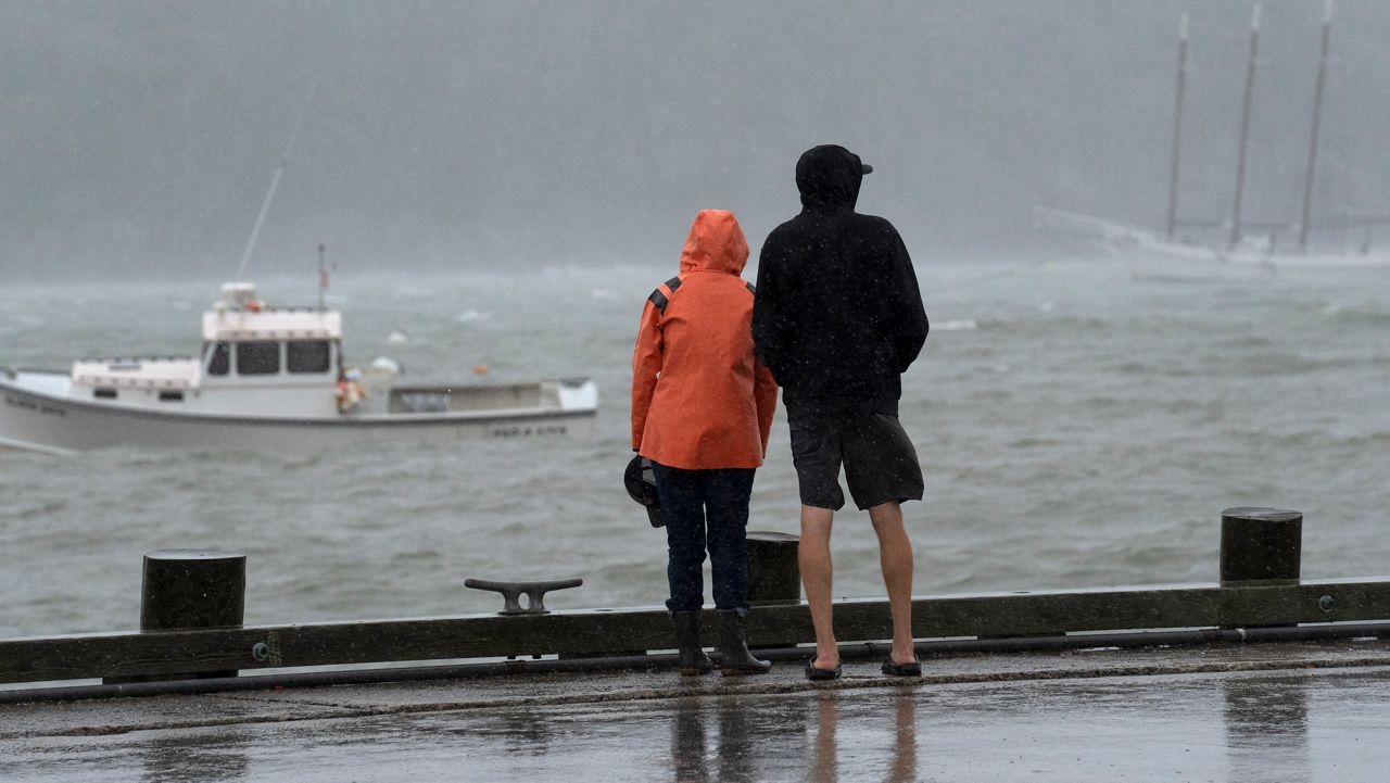
ALFRED – As a full-blown nor’easter marches toward New England this weekend, southern Maine in particular is bracing for the worst, which could include coastal flooding and shoreline damage.
Meteorologists predict the worst conditions will be in southern New England, but southwestern Maine could get up to 1 to 2 inches of rain and wind gusts up to 35mph in some areas. The storm is expected to hit the Pine Tree State by Saturday morning, with rainfall lingering into early next week.
The approaching storm has put everyone from emergency management officials to airport managers to utility companies on alert. Central Maine Power officials indicated the utility will be keeping extra crews on hand throughout the weekend to handle power outages.
In Portland, Zachary Sundquist, assistant airport director at Portland International Jetport, reminded travelers to check in with their airlines to make sure their flights are still departing and arriving on time.
“We do anticipate some delays and possible cancellations due to wind speeds,” he said.
As of 2 p.m. Friday, the jetport listed only four arrival delays and four departure delays.
In more northern regions, officials anticipate less of a problem. Marissa McKay, a spokesperson for Versant Power, said the company will have extra crews on hand, but “are not expecting significant impacts” from the storm.
Bangor International Airport only showed three delayed arrival flights and two delayed departures as of 2 p.m. Friday.
“We are watching the weather, as always, but as of right now it looks like the worst of it will likely miss us,” said Spokesperson Aimee Thibodeau.
In York County, emergency management officials said they were not very worried about flooding inland.
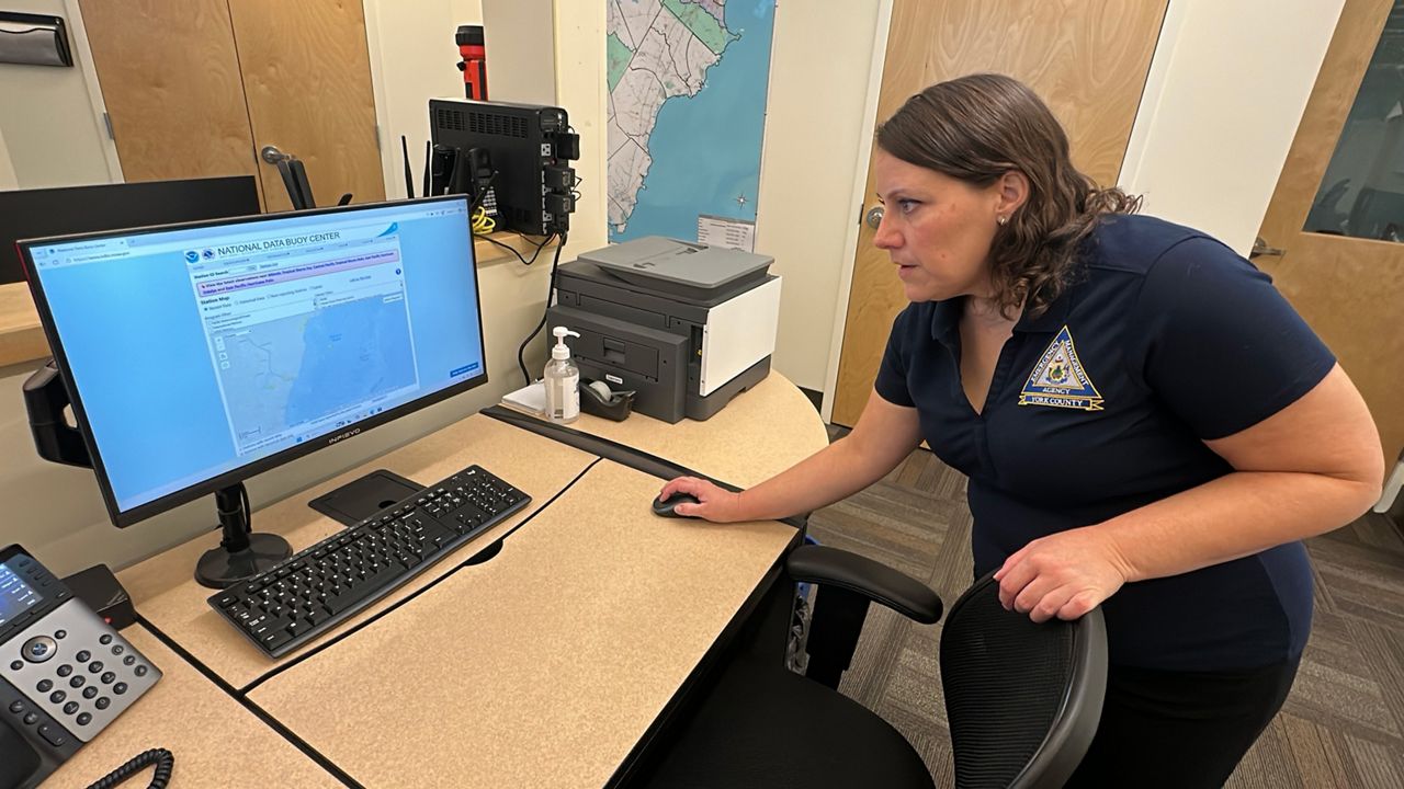
“Where we’ve been in drought conditions for such a long time, we’re actually not as concerned about that and maybe a little bit relieved in some areas that it will help with the drought conditions,” said Megan Arsenault, deputy director of the York County Emergency Management Agency.
The risk of flooding is higher, Arsenault said, closer to the ocean.
“We’re expecting some pretty significant coastal splashover, especially during this weekend’s astronomical high tide,” she said.
The predicted high tide Saturday night is reminiscent of a similar high tide that occurred at the same time as a major coastal storm in January 2024. That storm caused significant flooding and other coastal damage along much of Maine’s southern coast.
Arsenault noted that the predicted intensity this weekend will not be as bad, with a different type of storm coming, and winds expected to be coming from a different direction.
“The conditions are a little bit different for this one,” she said.
Still, Arsenault advised coastal residents in particular to be cautious this weekend, staying home whenever possible and keeping up to date on the latest conditions. She said residents can text “York County Alerts” to 226787 to receive texts with updated weather conditions and information on shelters or evacuation orders.
It’s also a good idea, Arsenault said, to always keep a disaster kit handy. Among other necessities, it should include enough non-perishable food and water for at least 72 hours, a first aid kit, tools, entertainment items like a deck of cards, cash, flashlights, batteries and other backup power sources.
“We always use storms like this as a good example for ways to be prepared and have a plan in place should something happen,” she said.
Arsenault also cautioned that the county is under a high surf advisory as of right now, making waters unsafe for boating. The U.S. Coast Guard’s Northeast District also advised mariners to secure vessels and remain in port for the weekend.
“All mariners and coastal residents should prepare for gale-force winds, offshore 15-25-foot seas, heavy coastal rainfall, and significant tidal surge,” Guard officials said in a statement. “These conditions present extreme danger to vessel navigation, stability, and shoreline infrastructure.”
Arsenault noted many communities have compensated for damage from the 2024 storm with dune restoration and dredging projects, but she said some communities have still not fully bounced back.
“As these storms happen and our coasts get damaged, it puts us at risk for this storm and other storms to come,” she said.